
Based on aerial imagery and LiDAR data, Hansa Luftbild and their Italian partner company Aerosistemi S.r.l. delivered a large number of high quality aerial images, orthophotos (RGB and CIR format) and digital terrain and surface models to the Sicilian civil protection authority. 210 square kilometres of Sicily were surveyed with a focus on seven of the region’s longest rivers. Data handling and data transfer were based on the most popular data formats (ESRI, Bentley, AutoCAD). The experts used a DMC large format camera from Intergraph and Riegl’s LiDAR system Litemapper for the data collection.
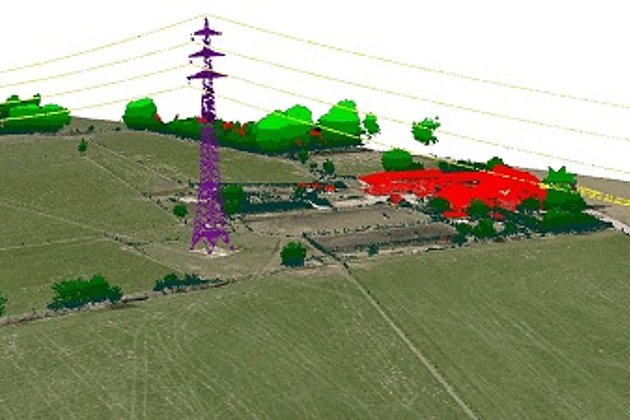
This new data basis is the first step in a two-year programme of the regional government to improve disaster prevention and disaster management in the future. Together with existing data, the new digital terrain and digital surface models – completed by cross section models of the surveyed rivers with a point-to-point distance of 500 metres – will be the starting point for new (hydro-)geological surveys and preventive measures.
Sicily frequently experiences natural disasters, of which flooding is the most serious. How to monitor and control natural disasters, assess damage, and provide relief is the most urgent problem for the local government and disaster experts. A regional integrated system using remote sensing, geographic information systems, the Global Positioning System, and other geological technologies for monitoring and evaluating flood disasters will be assembled and tried during the next 2 years and will interest the whole island for an extension of 25.000 square kilometres . The system will play an important role in flood mitigation during the trial and will become a key part of the flood management system at Sicily's Regional Flood Control Headquarters.
Hansa Luftbild and Aerosistemi S.r.l. have been engaged with their joint venture named HANSAER G.E.I.E., an European Economic Interest Grouping that combines the know-how and equipment of both partners.
![[Translate to Englisch:] Bild eines Digitalen Geländemodells mit Querprofildaten](../../fileadmin/_processed_/a/0/csm_hansaluftbild_ALS_crosssection_26db85b265.jpg "[Translate to Englisch:] Digitales Geländemodell mit Querprofildaten")